View Spread


Hacemos mapas de Norteamérica (Mapping North America)
Mapas del mundo (Mapping the World)
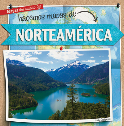
Including the Great Plains of the United States and the huge icebergs of Greenland, North America is a continent with a wide range of geography, climate, and cultures. Colorful photographs will invite readers to visit the many scenes North America has to offer, from the smallest Caribbean Island to icy northern Canada. Fun fact boxes accompany curriculum-based social studies content, including how to read population, climate, and political maps. Latitude and longitude, the cardinal directions, and major landforms also engage readers with the continent as a whole.
RL
Grades
2-3 IL
Grades
2-5 GRL
L