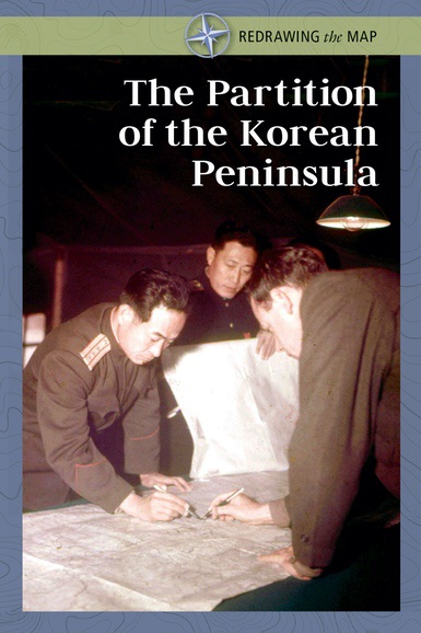
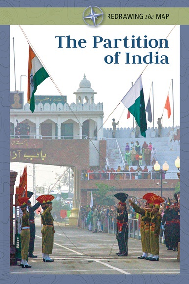
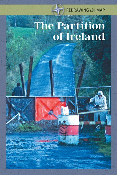
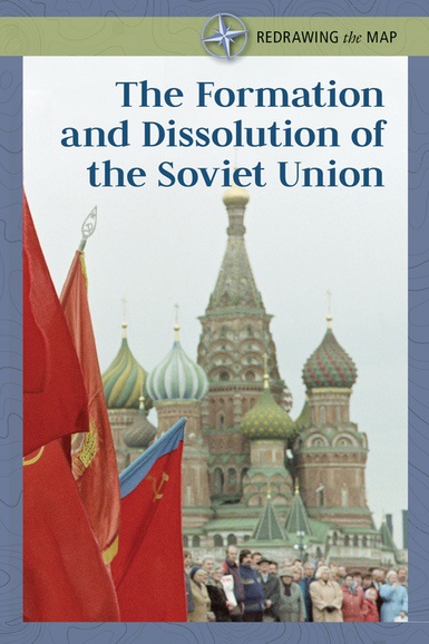
Redrawing the Map
International borders are fluid. Economics, culture,
geography, and conflict are the forces that have combined to carve out new
boundaries throughout history. This compelling series outlines how these forces
have influenced the look of our current maps, and the cause and effect of
changes over time. Multiple maps illustrate these changing boundaries and the
natural resources that are often central to conflict and defining borders.
Biographical sidebars profile the people who drove relevant historical events.
Students are also invited to interpret conditions inside the current boundaries
and to theorize how someday these boundaries may change.
Each Book
Contains:
• Maps of regions that show how borders have changed after major
historical events
• A review of the major geographical features of a country
and their economic impact
• A sidebar on a person who influenced a region’s
history
• A chronology of the major events that changed a country’s
borders
Curriculum Connections:
• Economics, history, geography, civics,
and culture are integrated to illustrate how they combine to affect the chain of
world events
• Students gain perspective on current events by learning about
the combination of factors that drove decisions in the past
• Key concepts
behind event-driving ideologies are explained in a comprehensive
glossary